SR-24 traffic right now
Collisions the CHP is handling on SR-24, what the freeway signs say and the latest from 13 Caltrans cameras in Alameda, Contra Costa. Rebuilt every 2 minutes; CHP list as of 10:35 AM.
Collisions on SR-24 now
No collisions on SR-24 on the CHP's live list right now. Lane closures and slow traffic aren't on that list: see the live map.
First reports from CHP dispatch; details can be wrong. In an emergency, call 911.
What the SR-24 signs say
- SR-24 west · CM096-ALA24 W/B SHATTUCK AVE and 55th, OaklandSF BAY BRIDGE30+ MIN DELAYSUSE ALT BRIDGES
- SR-24 east · CM025-ALA24 E/B W/OF BROADWAY, OaklandWALNUT CR 11 MINSAN RAMON 19 MINCONCORD 22 MIN
- SR-24 west · CM026-CC 24 W/B W/OF CAMINO PABLO RD, OrindaSF BAY BRIDGE30+ MIN DELAYSUSE ALT BRIDGES
- SR-24 west · CM006-CC 24 W/B W/OF LAFAYETTE STA UC, LafayetteSF BAY BRIDGE30+ MIN DELAYSUSE ALT BRIDGES
SR-24 traffic cameras
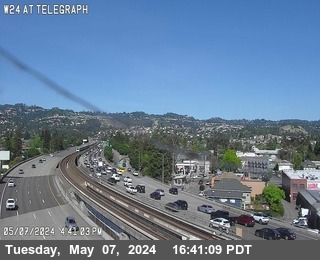
13 Caltrans cameras, in order along the road. Each picture loads from Caltrans and updates about every 2 minutes.
Alameda County

Contra Costa County
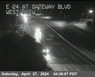 SR-24 : Gateway BlvdLooking east
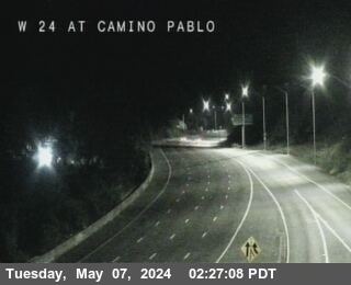 SR-24 : AT CAMINO PABLOLooking west
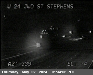 SR-24 : JWO ST STEPHENS DRLooking west
 SR-24 : AT MORAGA WAY ORLooking east
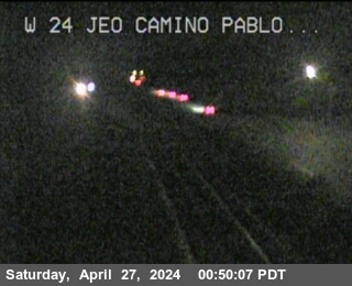 SR-24 : W24 JEO Camino PabloLooking west
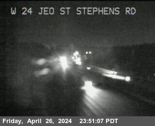 SR-24 : W24 JEO St Stephens Drive OCLooking west
 SR-24 : E24 WOF Dolores RdLooking east
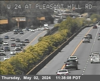 SR-24 : W24 at Pleasant Hill RdLooking west
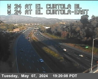 SR-24 : AT EL CURTOLA BLLooking west
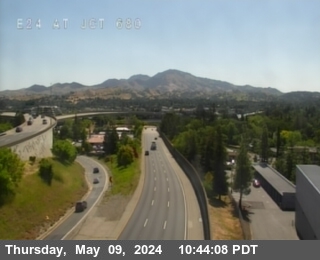 SR-24 : I-680Looking east